

Doğansoft

Brings the city's places, addresses and services together on a single map.

City Guide

All of a city’s data, on one map

Zoning, cadastre, address and public service data meet on a single map: a shared workspace for staff and an open portal for citizens.

Kent Rehberi modulee-İmarZoning plans, plan notes and zoning certificates in one module.Go to the e-İmar section
An integrated city information system for institutional spatial data

The City Guide brings zoning, cadastral, address, transport and public service data together on a single map platform. It serves as a shared workspace for staff and, within the scope the institution defines, is opened to citizens.

System functions

Location and services

  • Address search

  • Public service points

  • Pharmacies on duty

  • Route planning

e-İmar and property

  • e-İmar module

  • Zoning

  • Block and parcel enquiry

  • Measurement tools

  • Orthophoto comparison

City life and safety

  • Assembly areas

  • Road and utility works

  • Cultural and tourist sites

  • Events and notices

Sharing and accessibility

  • Location sharing

  • Printing

  • 3D city model

  • Accessible interface

AI-assisted search and analysis

MD AI suggestionCitizen query

Which pharmacy on duty is nearest to Lale Street?

Central Pharmacy · 410 m · 5 min walk

The result is shown on the map with route information.

MD AI is a separately licensed add-on module; AI suggestions are provided through it.

Seven core data layers

  1. Terrain

  2. Base map and orthophoto

  3. Infrastructure and transport

  4. Zoning and cadastre

  5. Buildings and addresses

  6. Culture and tourism

  7. Green space and disaster

e-İmarKent Rehberi module

Managing and querying zoning information

e-İmar is the zoning module of Kent Rehberi. Implementation and master zoning plans, plan notes and plan amendments are kept in a single record managed by the zoning department; citizens and municipal units access zoning information parcel by parcel from this record.

e-İmar layers

  • Implementation zoning plan
  • Master zoning plan
  • Plan amendments
  • Legend hatching
  • Building rules
  • Road widths
  • Constraints
  • Plan sheet

Zoning status by parcel

When a block and parcel are selected, the plan function, building conditions and plan notes are displayed on a single screen. AI summarises the technical information in plain language; it does not replace the official certificate.

1203A-4E=1.20On public display1205TİCKHmax=15.501234567891204A-4E=1.20Cumhuriyet AvenueLale Street20.00 m12.00 m1204 / 7IMPLEMENTATION ZONING PLANScale 1/1000030 m

ZONING

Block 1204 · Parcel 7

Çarşı District

Residential

Layout
Detached
Coverage / FAR
0.30 / 1.20
Max height
12.50 m
Setbacks
Front 5 m · Side 3 m
Parcel area
642 m²
MD AI suggestion

Detached residential building of up to four storeys; the ground floor may be allocated to commercial use.

MD AI is a separately licensed add-on module; AI suggestions are provided through it.

Building conditions

The zoning plan sets the limits of what can be built on a parcel with four key values. The drawing shows what these values mean on a sample parcel.

TAKS0.30
Ratio of the building footprint to the parcel area
KAKS (floor area ratio)1.20
Ratio of the total floor area to the parcel area
Hmax12.50 m
Maximum permitted building height
SetbackFront 5 m · Side 3 m
Minimum distance from the building to the parcel boundaries
Hmax 12.50 mKAKS (floor area ratio) 1.20Total floor area ≤ 770 m²TAKS 0.30Footprint ≤ 192 m²SetbackFront 5 m · Side 3 m
Building lineHmaxFootprint (TAKS)Floor areas (KAKS)

The zoning department's workspace

The process from plan amendments to zoning certificates is run from the zoning department's own screen. Every action is recorded with who did it and when.

  • Plan amendmentsParcel mergers, subdivisions and land-use changes are tracked on their own layer, on the plan.
  • Public display trackingThe remaining public display period of each amendment is shown on screen.
  • Plan notesPlan notes are entered and kept up to date by the zoning department.
  • Zoning certificateCertificates are issued and numbered within the system.
  • Activity historyWhich record was changed, by whom and when can always be traced.
  • MAKS alignmentBuilding records are matched with the national Spatial Address Registration System (MAKS).

Location-based service enquiry

Based on an address or location, the nearest assembly area, pharmacy on duty, school and public transport stop are listed with distance and estimated walking time.

500 m
Çarşı Dist., Lale St. No: 12
  1. 1

    Atatürk Park

    Assembly area

    240 m

    3 min walk

  2. 2

    Central Pharmacy

    Pharmacy on duty

    410 m

    5 min walk

  3. 3

    Cumhuriyet Primary

    School

    650 m

    8 min walk

  4. 4

    Çarşı Stop

    Bus stop

    120 m

    2 min walk

Public portal and internal application

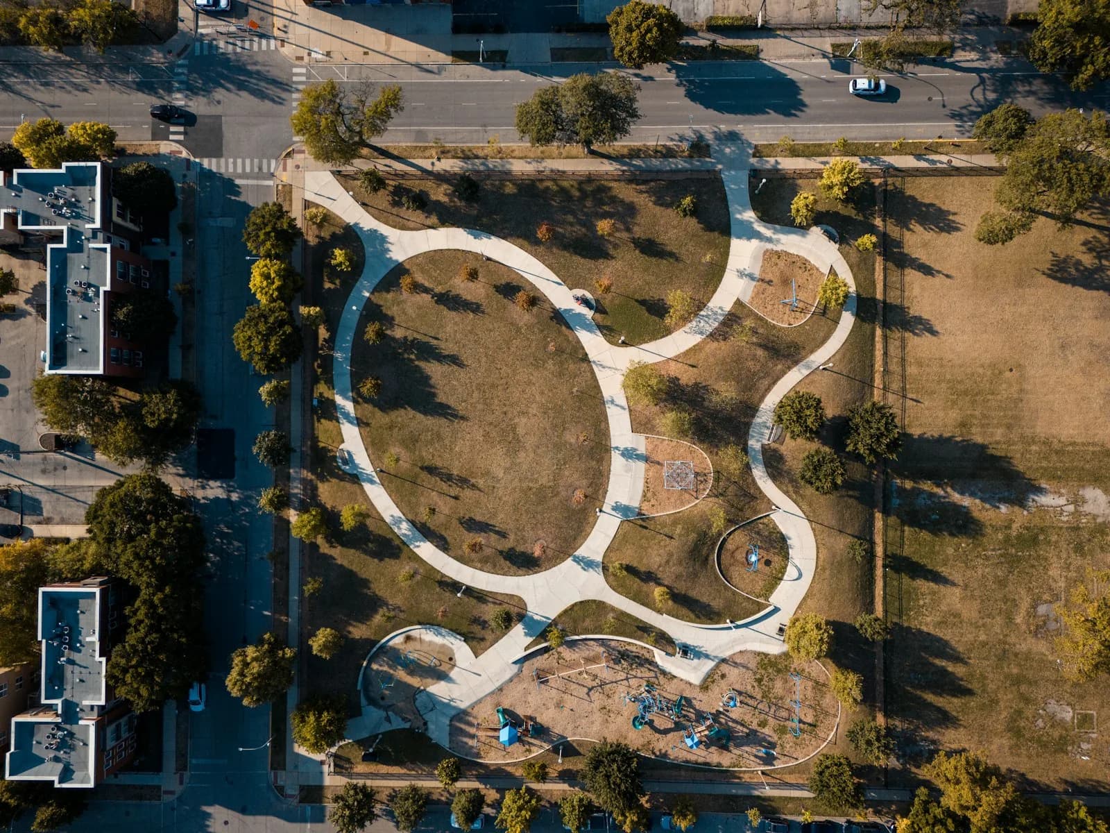
Aerial view of Fatih, Istanbul

Public portal

Access to the layers published by the institution, without registration.
  • Address, service point and zoning enquiries
  • Pharmacies on duty, assembly areas and works information
  • Location sharing and printing
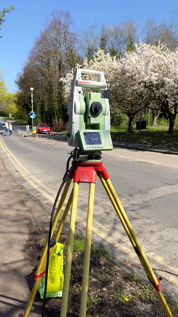
A surveying instrument set up on a street

Internal application

Layer access and data editing are defined by role and permission.

  • Management of property and leasable areas
  • Layer editing permissions by department
  • Mobile access for field teams

Data integrity across departments

Data sources

  • Base maps

  • Cadastral data

  • Address records

  • Departmental data

  • Doğansoft systems

City Guide

Shared city database

  • Single record
  • Layer permissions
  • AI

Access

  • Public portal

    Institution's website, mobile devices and kiosks

  • Staff

    All layers by permission, plus field access

  • Management

    District-level monitoring and reporting

Integration with Doğansoft systems

  • Waste Management

  • Parks and Gardens

  • Facility Management

  • Disaster Management

  • MD Website

  • Terminology aligned with legislation

    Concepts such as block, parcel, coverage ratio, floor area ratio and door numbering are used as defined in zoning and address legislation.

  • Shared AI infrastructure

    As in all Doğansoft systems, AI suggestions are applied only with the approval of the responsible department.

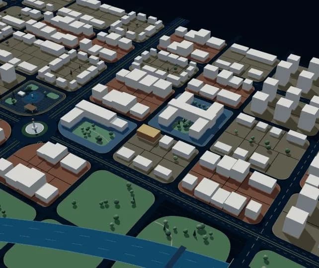
  • 3D city model

    The city can be examined in three dimensions together with its buildings, terrain and data layers.

  • On-site set-up and training

    Data transfer is carried out together with institutional staff, and each department receives dedicated training.

Frequently asked questions

01 / 06

Can we use our existing zoning and cadastral data?

Yes. The institution’s existing plan, parcel and building data is transferred to the system during set-up.

02 / 06

Who decides which layers are public?

This decision rests with the institution. Each layer can be defined individually as public or as accessible to staff only.

03 / 06

Does the AI change records on its own?

No. AI only prepares suggestions; recording a suggestion requires the approval of the responsible department.

04 / 06

Does the AI's zoning summary replace the official certificate?

No. The summary is for information only; the official zoning certificate is issued by the institution.

05 / 06

Can the City Guide be published on the institution's website?

Yes. The City Guide is integrated into the institution's website and published in line with its corporate design.

06 / 06

How is the data kept up to date?

Each department updates its own layer through the management panel; changes are reflected on the map immediately.

Can’t find your question? Write to us →

Let us plan an assessment for your institution

Request a demo
