Our team
Urban planners, GIS and remote sensing specialists, software engineers and designers work together on the same project. Each institution’s needs are handled by a single team from start to finish.
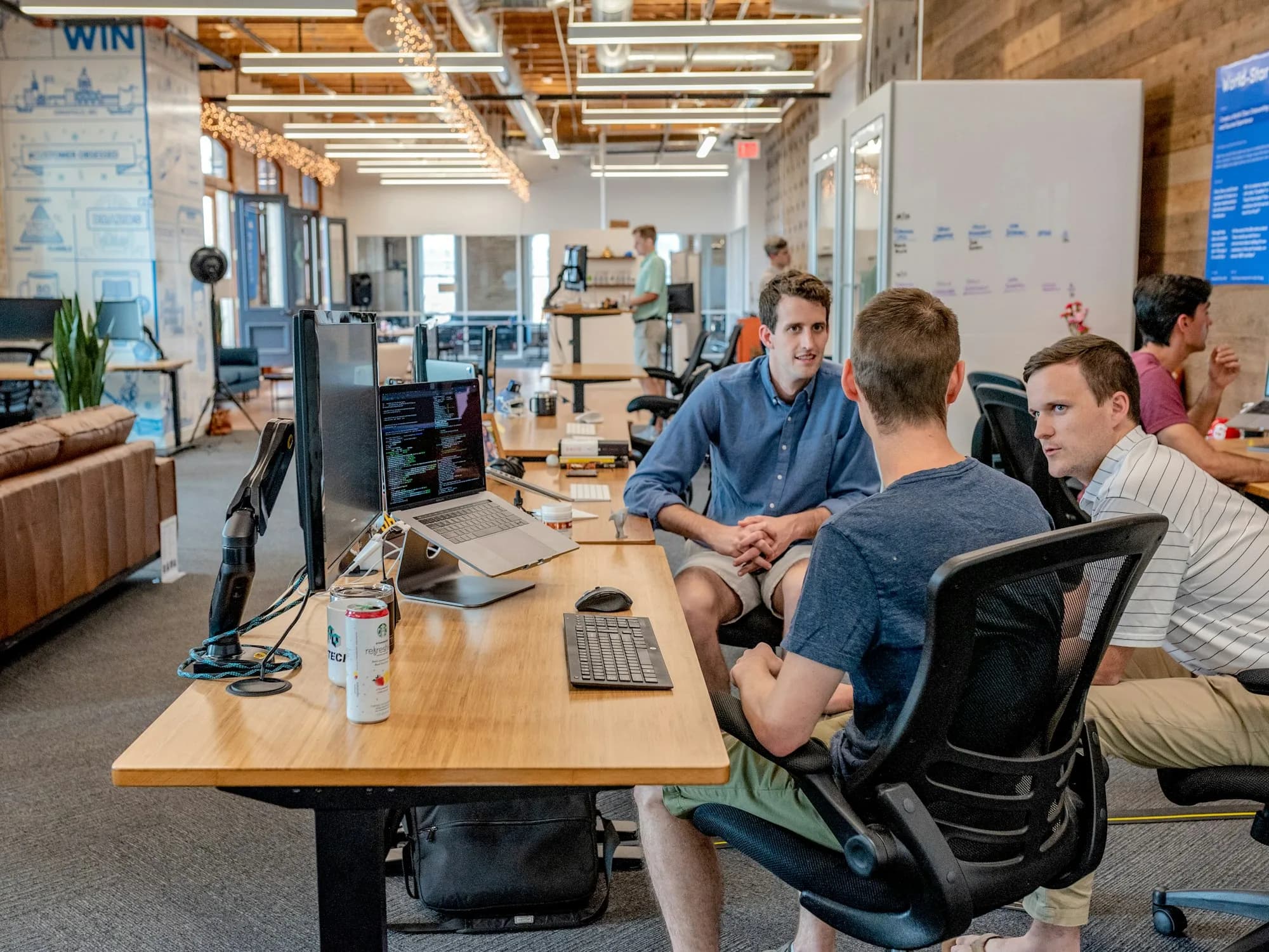
The professional knowledge a municipal system requires is found within our team.
Mapping
Geographic information systems
Organises city data into layers, records it with accurate coordinates and makes it meaningful on the map.
Satellite
Remote sensing and data analysis
Processes satellite and aerial imagery and quantifies change, risk and priority.
City
Urban and regional planning
Turns legislation, zoning procedures and departmental workflows into software requirements.
Software
Software engineering
Builds web, mobile and server systems that keep working on weak connections in the field.
Design
Product and interface design
Designs clear screens that staff of every age and role can use with ease.
Field
Installation, training and support
Installs the system at the institution, trains its users and provides support throughout.
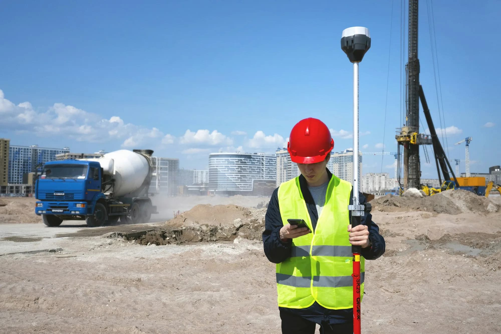
Projects are carried out in small steps and in close contact with the institution’s departments.
Field review
Before a screen is designed, the staff doing the work are consulted and the workflow is reviewed on site.
One team from installation to support
The team that installs the system also provides training and support, so no knowledge is lost in handover.
Short development cycles
Development is split into small steps, each tested together with the institution.
Protection of institutional data
Institutional data is processed only as far as the work requires and in line with legislation.