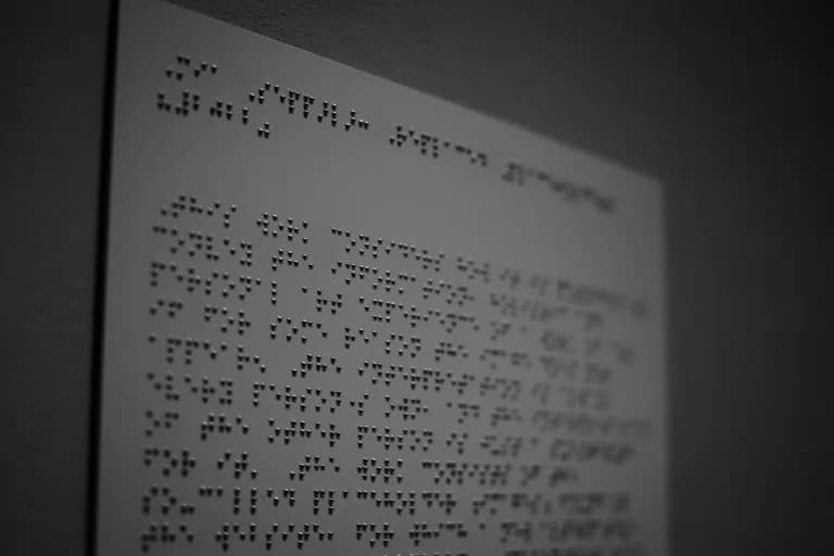
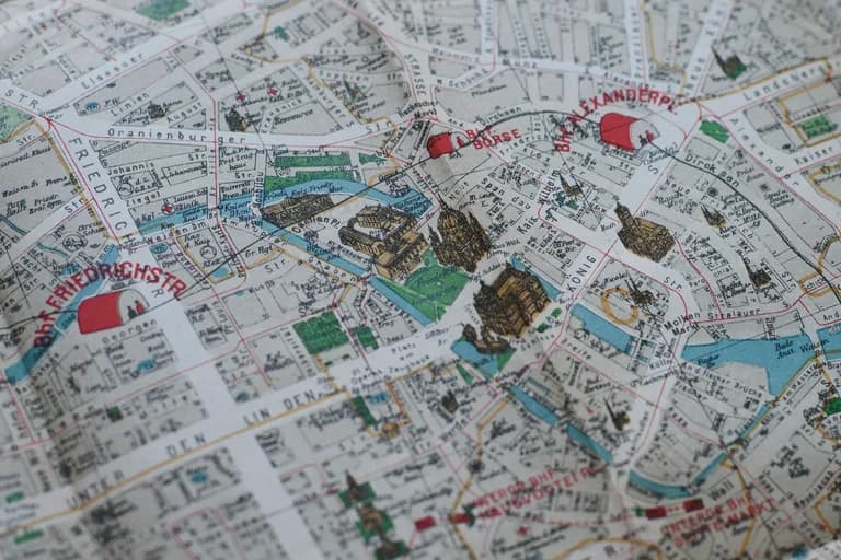
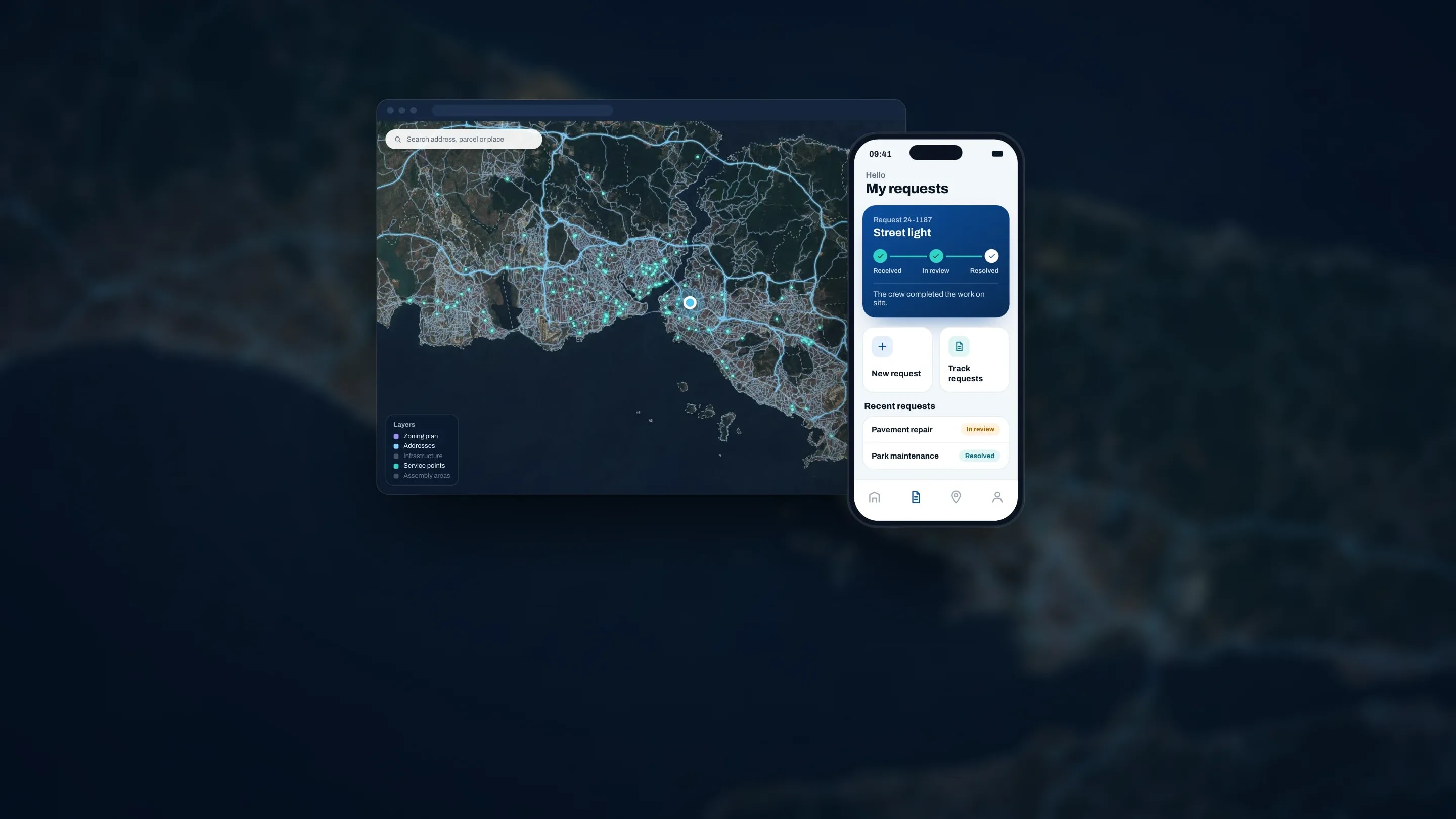
We build systems that digitise the service, operations, communication and planning processes of municipalities, public institutions and private organisations. Our web, mobile and map-based systems work together on a shared infrastructure. We are part of the Smart City Ecosystem of Türkiye’s Ministry of Environment, Urbanisation and Climate Change, and the systems we build contribute to cities’ smart city goals.
About usData
A detailed data study is carried out with the institution; data in its own infrastructure is reviewed and the system is built on that data.
Field
Where needed, we go into the field to see how the work runs on site and complete missing data there.
Analysis
The data collected is turned into indicators; analyses are presented according to the institution’s needs and decision processes.
Map
Analysis results are visualised on the map, so the institution follows its data with location and shares it across departments.
The systems, modules and platforms we build for the service, operations, disaster, facility and web processes of municipalities and institutions. Each works on its own; used together, they share the same infrastructure.
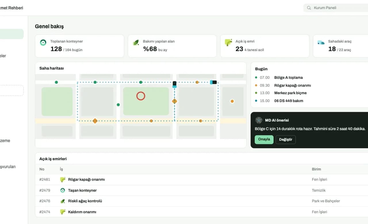
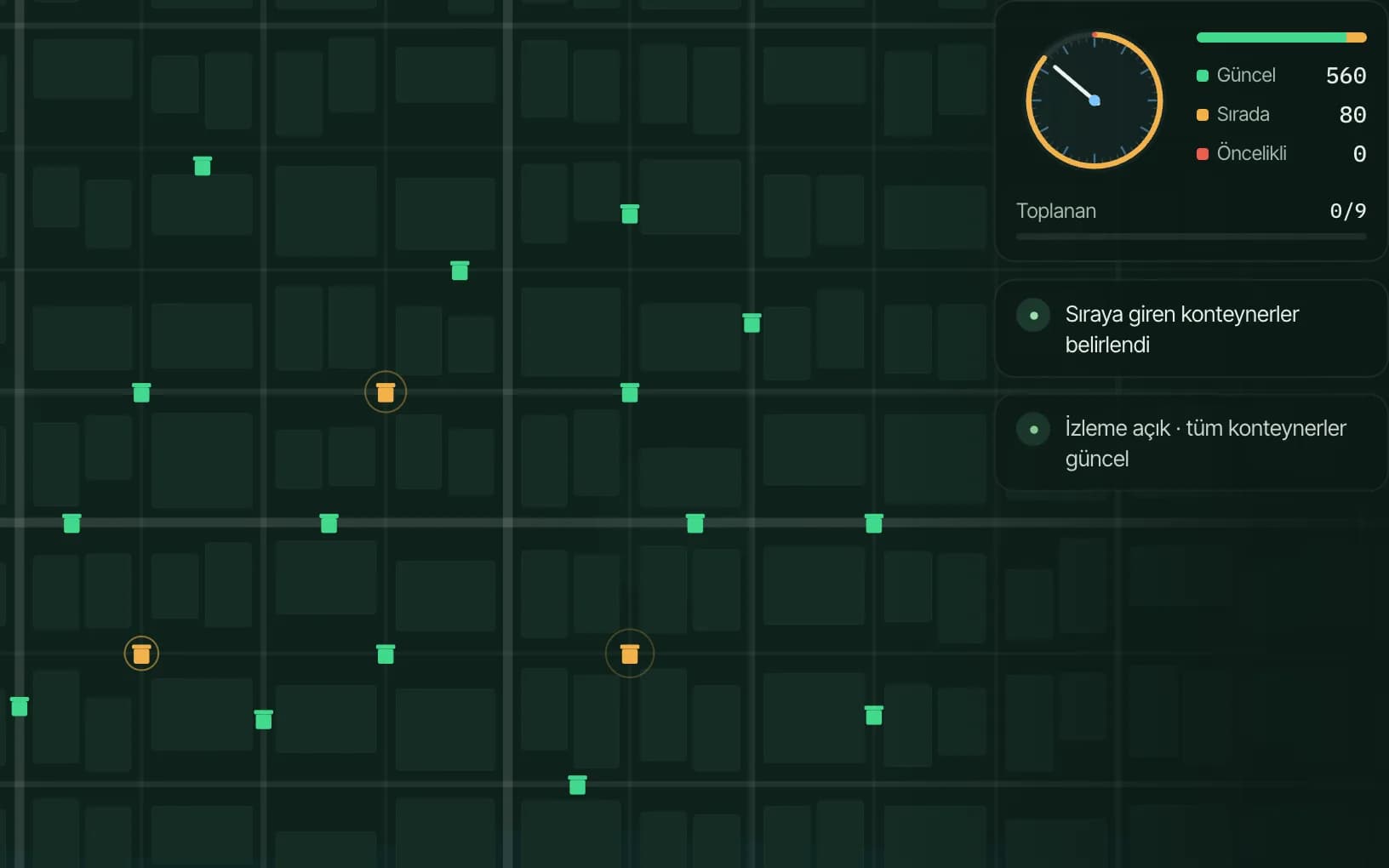
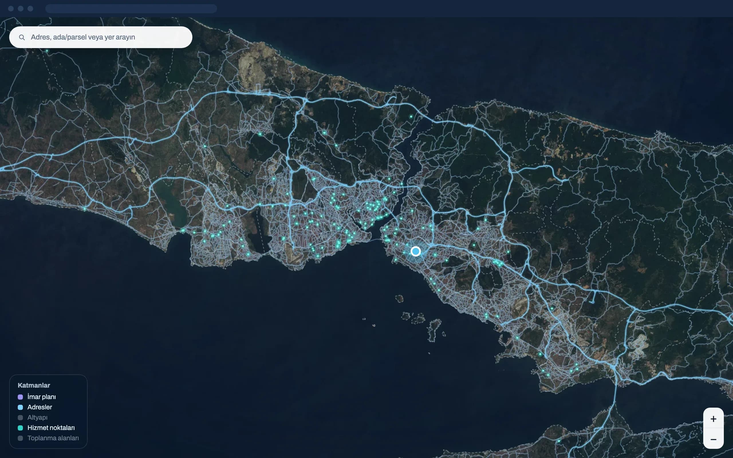
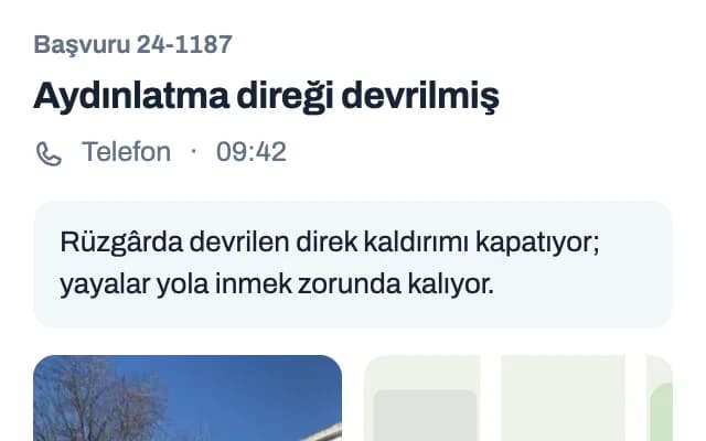
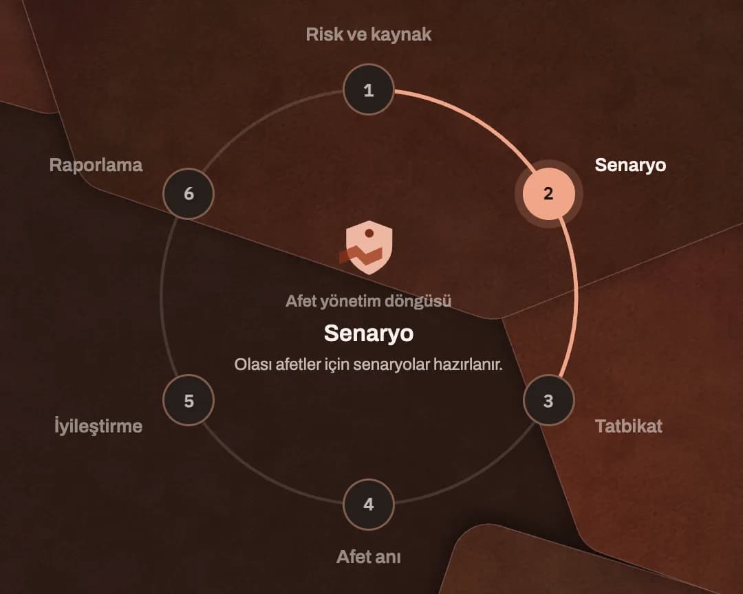
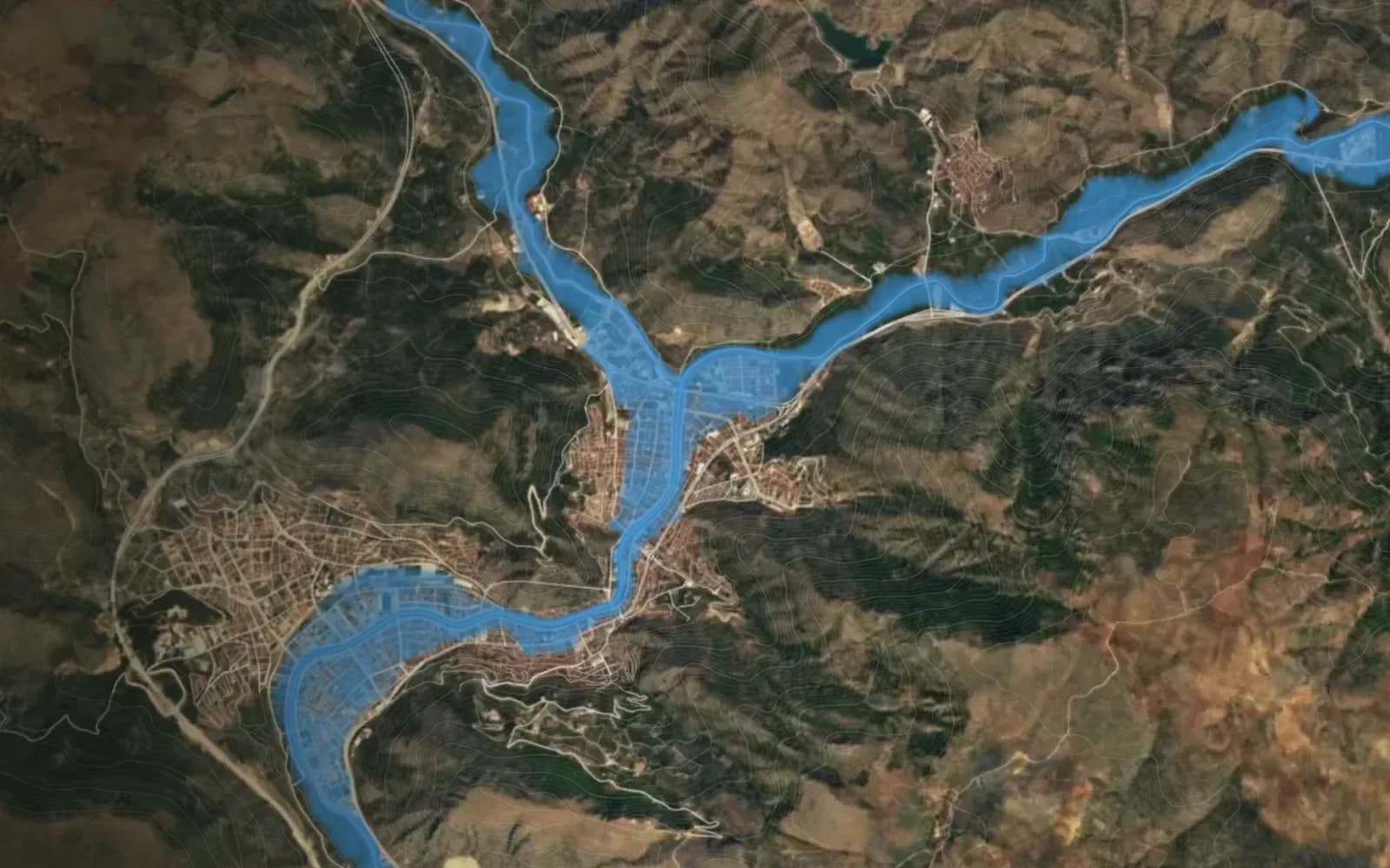
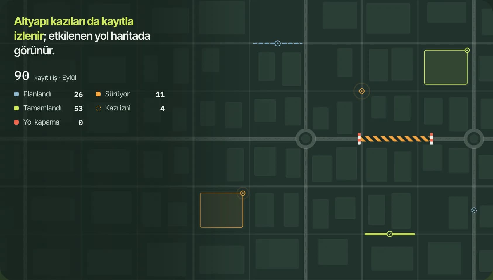
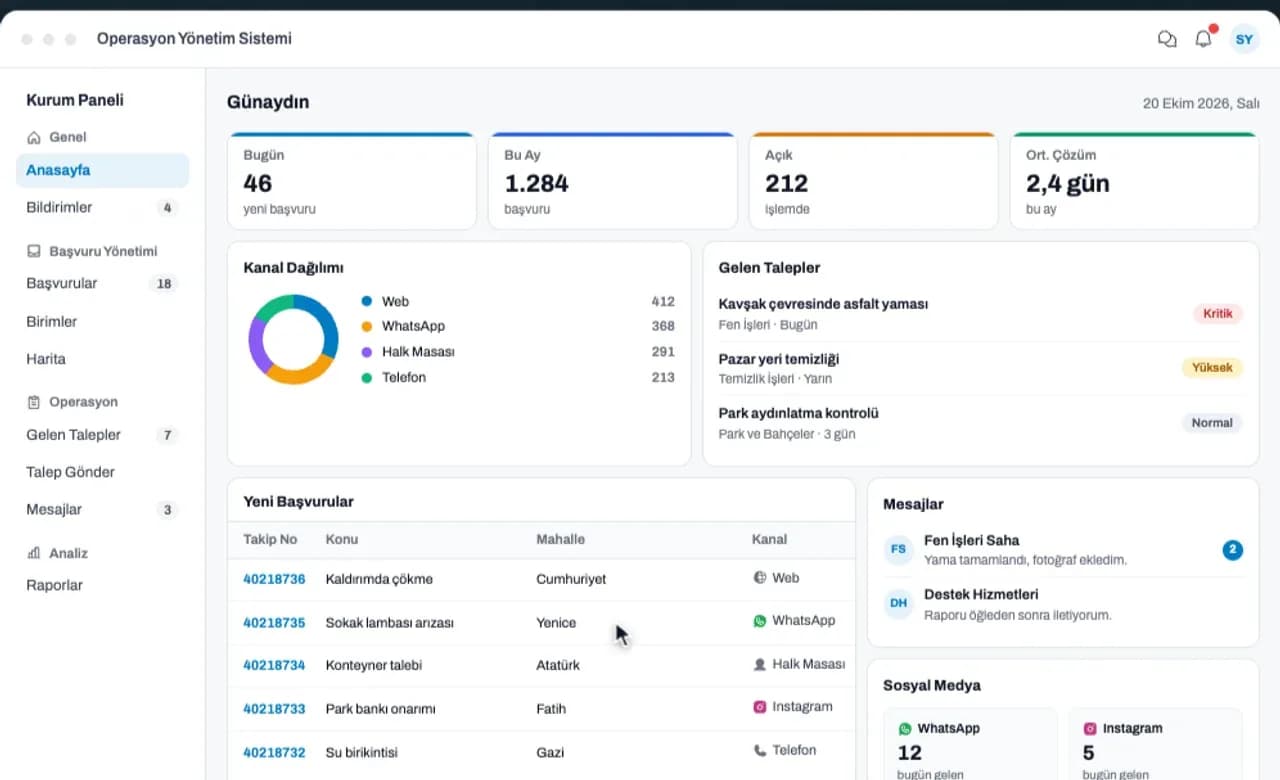
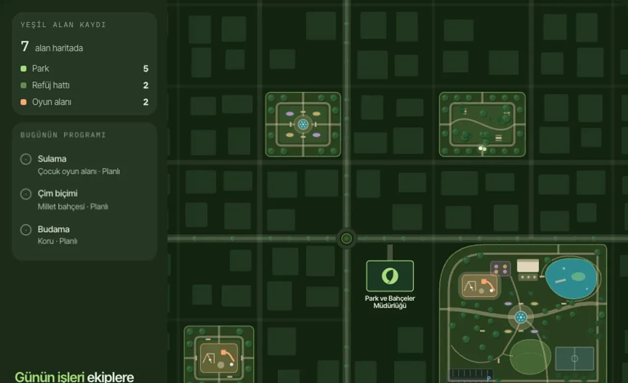
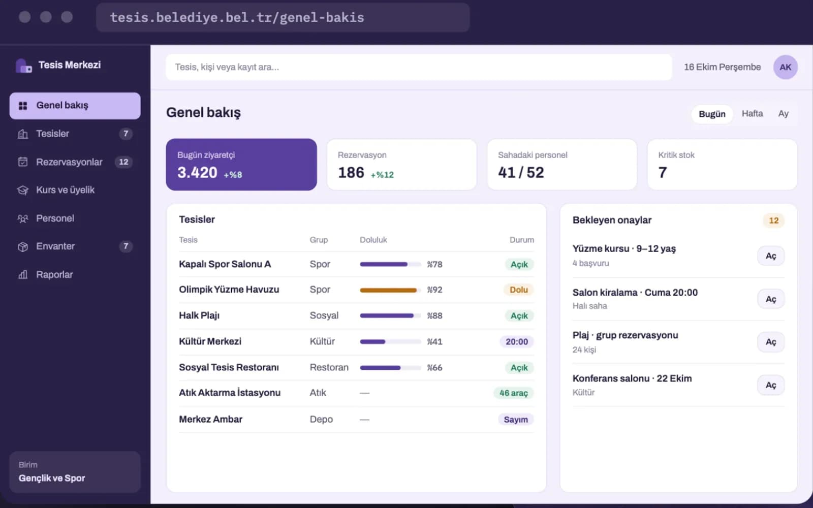
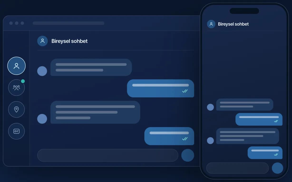
The information an institution needs depends on the scale it is looking at. At the regional scale, disaster risk and land use come first; at the city scale, the service network and infrastructure; at the neighbourhood and building scale, field work and facility management. Within the institution, departments run their own workflows, while citizens deal with applications and information. Each scale requires its own data, its own users and its own way of working, and our systems are designed separately for these needs. Below you can see which system takes on which task at each scale.
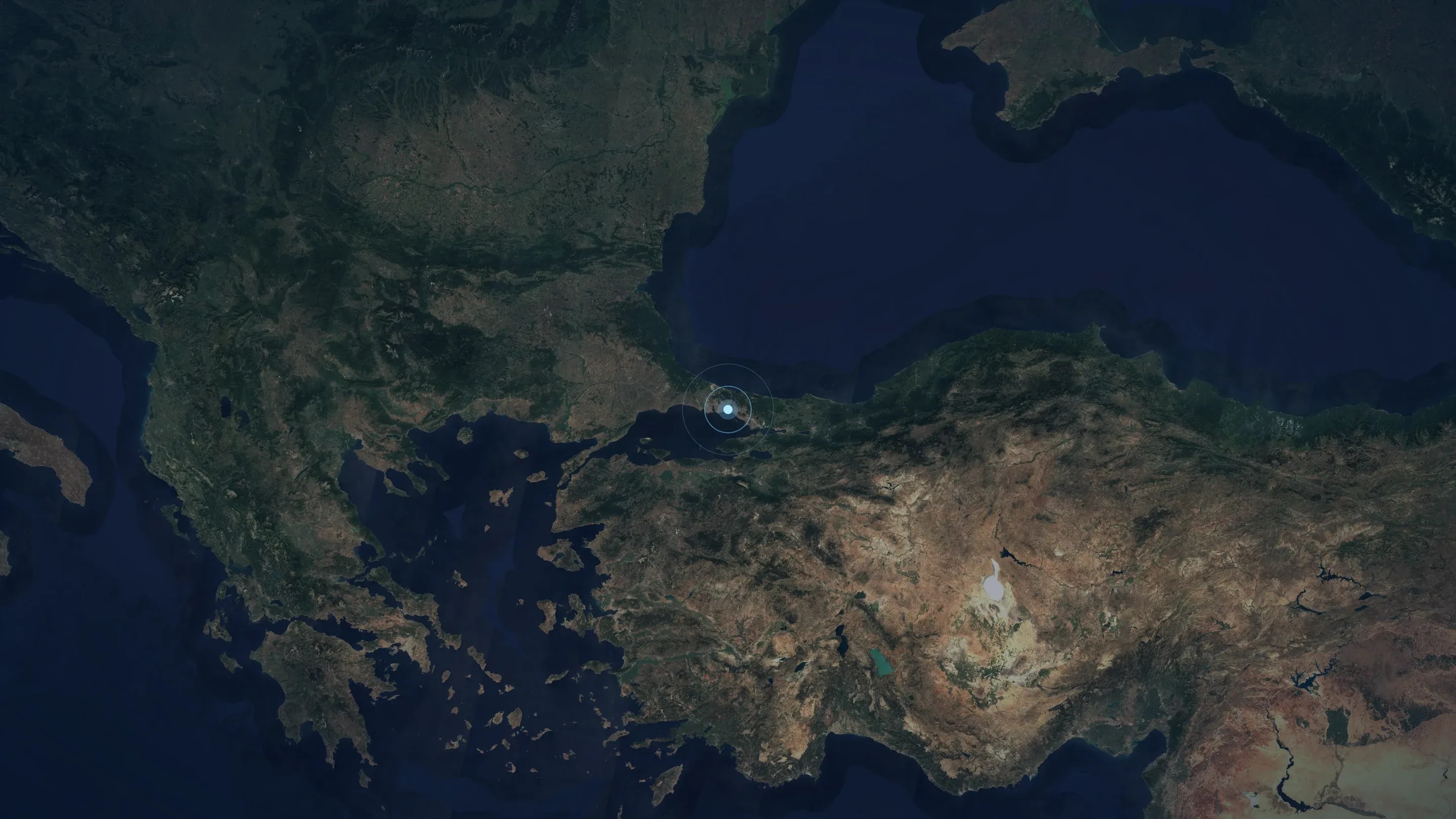
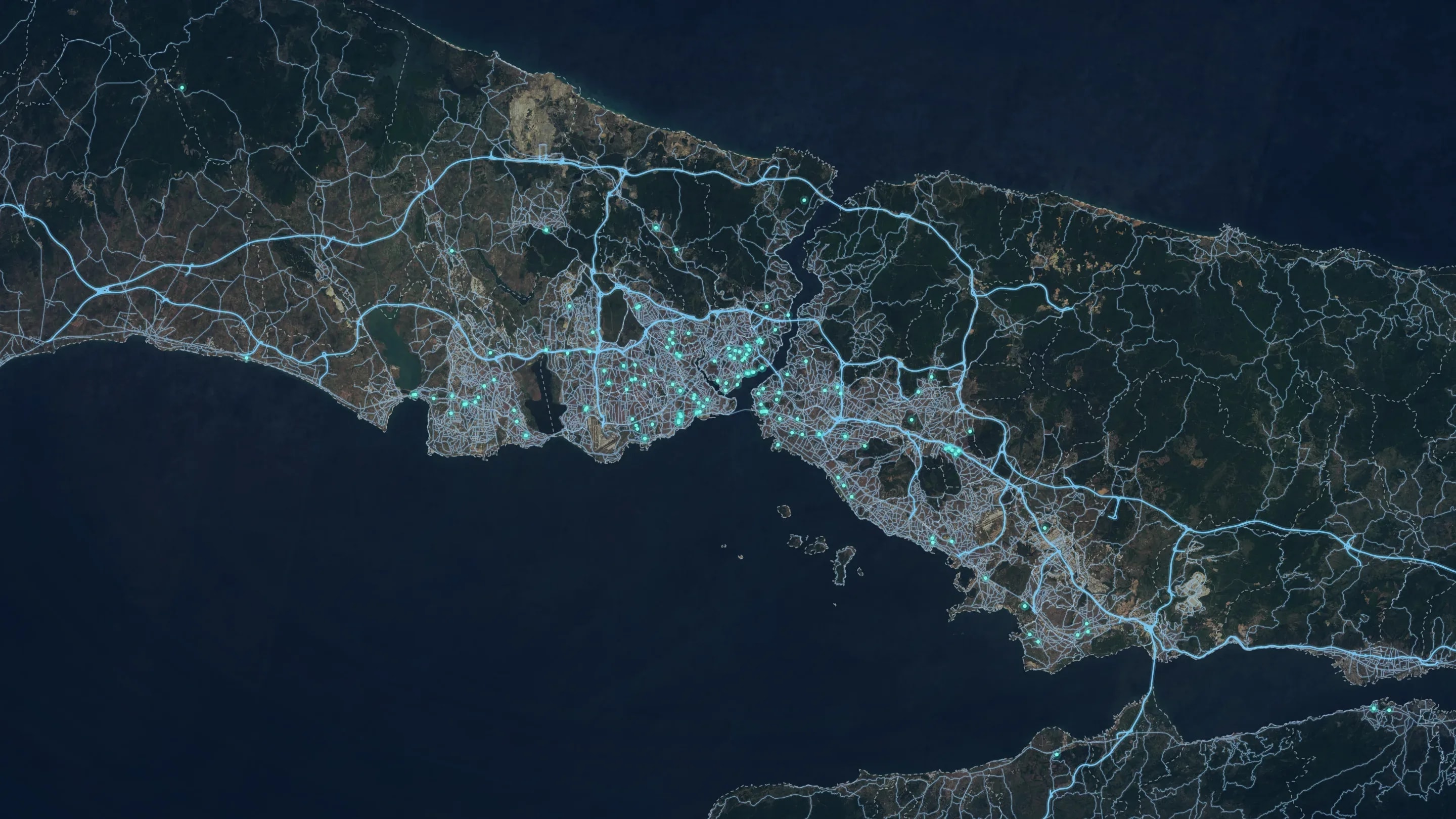
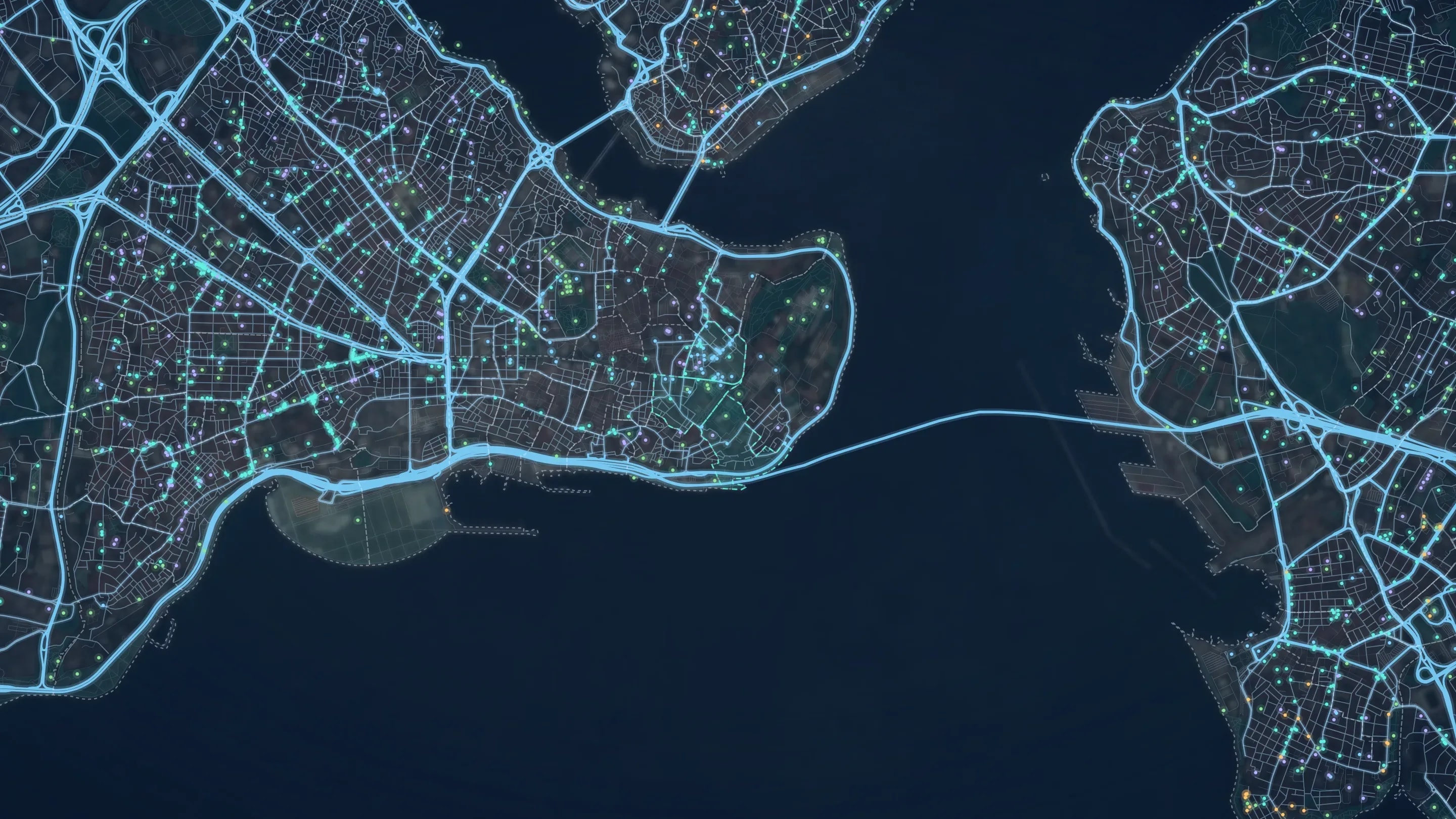
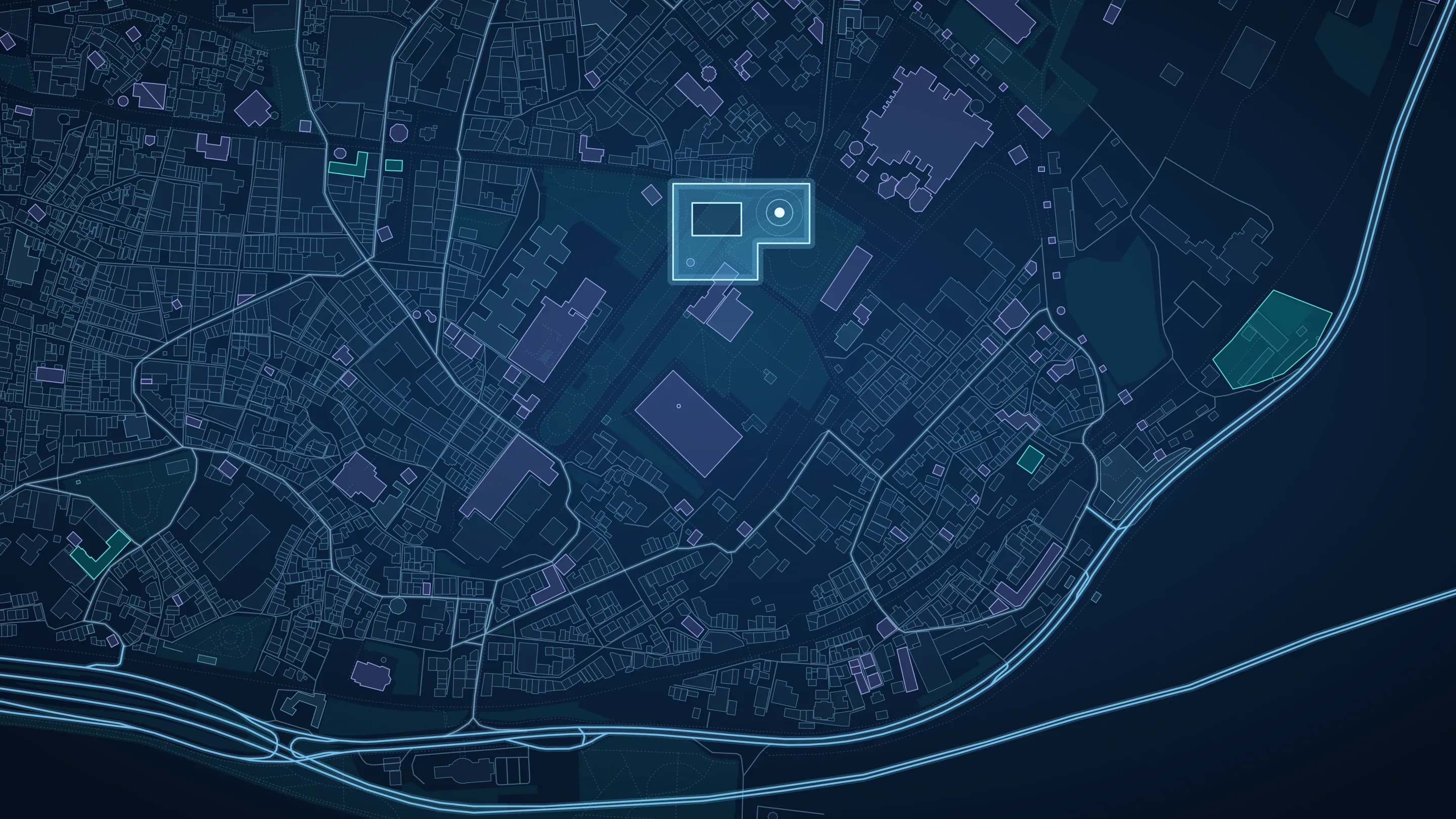
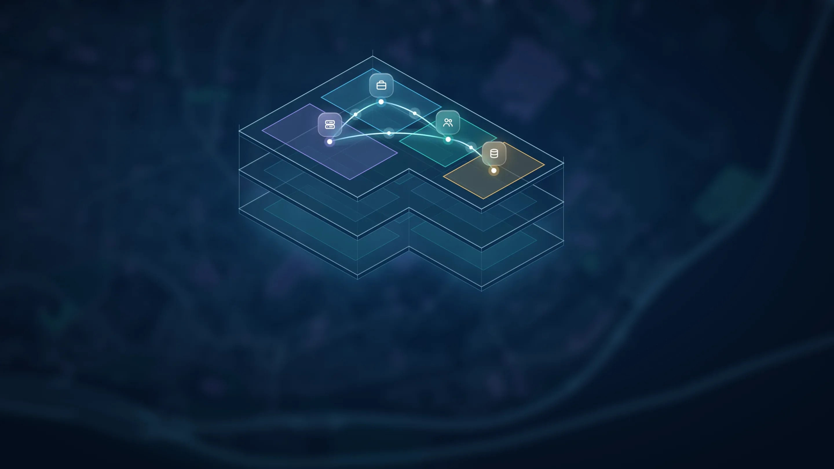
Regional analysis and planning
At this scale a wide geography is read as a whole. Earthquake, flood and landslide risks, areas suitable for settlement and inter-agency disaster preparedness are assessed with satellite imagery, elevation and institutional data. Decisions made at regional scale guide planning at the scales below.


Doğansoft systems run on the same foundation; when a new system is added, nothing starts from scratch.
Shared base map
Satellite imagery, orthophotos and the institution’s own layers appear on the same map in every system.
One user and permission model
Staff are defined once; what each department can see is set centrally.
Shared data structure
Requests, tasks and reports move forward on the same record; data is not re-entered between departments.
Notifications and messaging
Notifications are sent from shared infrastructure for every system, so citizens and staff are informed consistently.
Integration with existing systems
Data is exchanged with the software the institution already uses, so existing operations continue uninterrupted.
Modular structure
Systems work connected to one another; an institution can also use the system it needs on its own.
Systems shaped around the institution
Our systems are not built to a single template; they are configured to the institution’s structure and developed together for as long as they are in use.
- Configured for each institutionDepartments, users and workflows are defined according to the institution’s own organisational structure.
- New systems as needs ariseAs needs change the existing system is developed further; for work with no match, a new system is designed for the institution.
- Support from the team that builds itRequests covered by the support package are handled by the team that builds the system; every request is logged and followed until it is resolved.
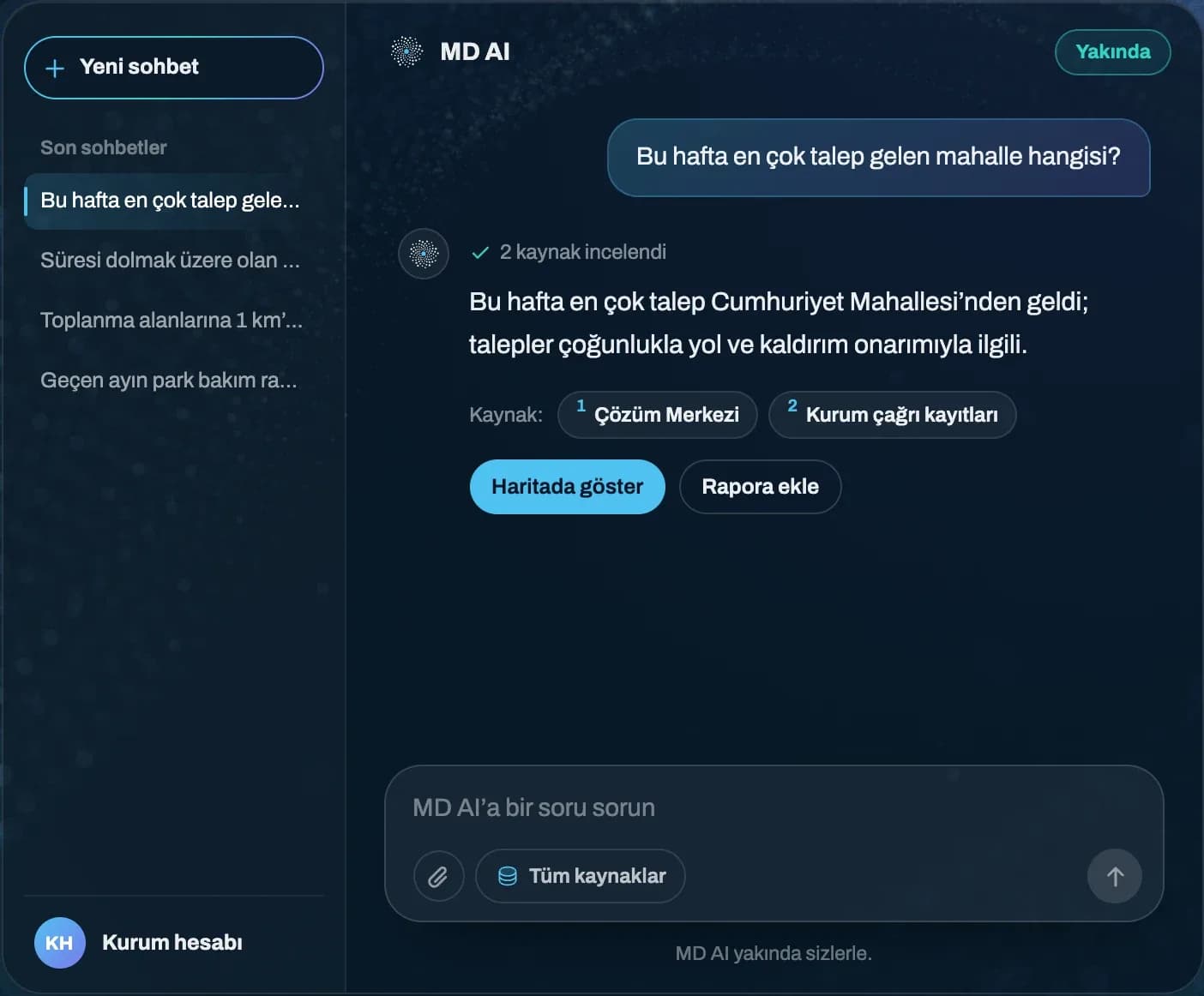
MD AI is an AI layer that connects to Doğansoft systems and to the institution’s own systems. Staff ask in everyday language; MD AI finds the relevant records and answers with its sources. Final approval of every suggestion always rests with the user.
- Doğansoft systems
- Your own systems
MD AI is coming soon.
Articles on city management, geographic information systems and public sector technology.